Exploring The Physical Features Of Bangladesh: The Land, Climate, And Rivers
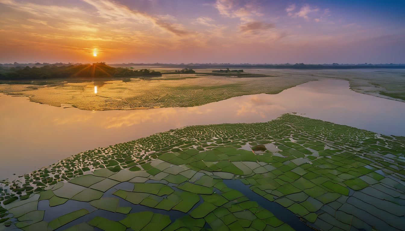
Want to discover what makes Bangladesh such an astonishingly diverse and unique country? The secret lies in its incredible physical features, including dramatic landscapes shaped by three mighty rivers and a tropical monsoon climate.
This informative guide delves into the wonders of Bangladesh’s land, weather patterns, and waterways to give you a comprehensive understanding of this South Asian gem. Ready for an exciting geographical journey? Let’s dive right into the heart of Bangladesh!
Key Takeaways
- Bangladesh is a country with diverse physical features, including flat and low-lying lands, a tropical monsoon climate, and an extensive network of rivers.
- The three major rivers in Bangladesh – Padma, Meghna, and Jamuna – form a large delta that enriches the land with fertile soil for farming. However, flooding from these rivers can also cause damage to infrastructure and affect people’s livelihoods.
- The hilly region of Bangladesh has stunning landscapes and rich natural resources like forests, minerals, water resources, and wildlife. These contribute significantly to the country’s economy and development.
- The coastline of Bangladesh is important for trade, fishing activities, tourism (especially the Sundarbans mangrove forest), but it is vulnerable to climate change impacts such as sea-level rise.
- Bangladesh has a subtropical monsoon climate characterized by high humidity all year round. It experiences heavy rainfall from June to September.
- Frequent flooding is a significant issue in Bangladesh due to its many rivers and deltaic plain. Climate change exacerbates this problem.
- With its strategic location between India and Myanmar, Bangladesh serves as an important hub for trade and transportation in South Asia.
Geography of Bangladesh
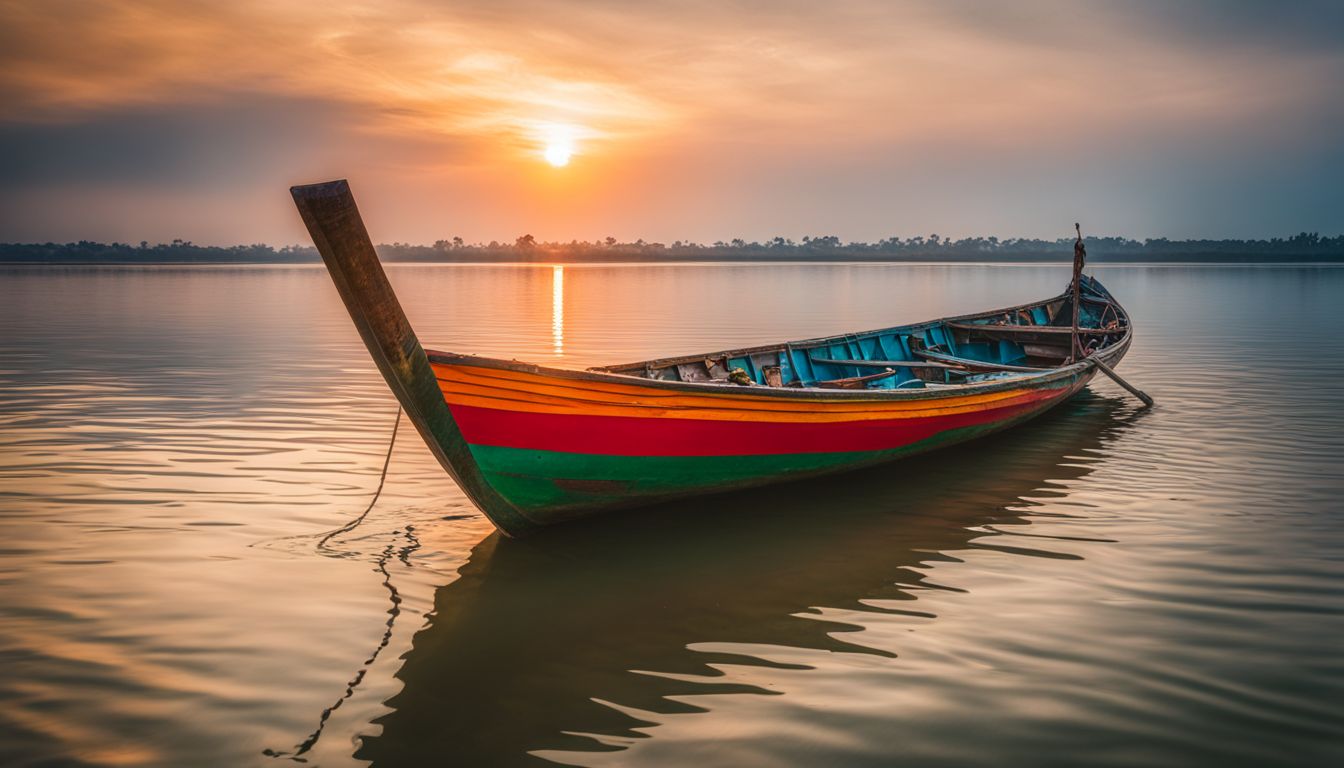
Bangladesh is a country with diverse physical features, including vast land areas, varying climates, and an extensive network of rivers.
Land

Bangladesh is full of flat, low-lying lands. Most parts never go past 35 feet high. The ground shows off with a wide deltaic plain. This large area often sees floods. A big river delta and the world’s largest mangrove forest can be found here too.
They make the land look green and full of life. But, by the sea, things change a bit more since it can be affected by rising sea levels.
Climate

Bangladesh has a subtropical monsoon climate. This means it gets a lot of rain and stays humid all year. From June to September, the humidity can go up to 90%-95%. It is not dry in Bangladesh.
The country also faces problems due to changing weather. Climate change is making things hard for people living there. These changes are linked with hot temperatures that stay longer than normal and hard rains that cause floods.
Rivers

Bangladesh has many rivers. The most known ones are the Padma, Meghna and Jamuna rivers. These three form a big delta. This is where they meet before going into the sea. Nearly 79 percent of Bangladesh’s land sits in this area.
The Padma River keeps changing over time, both in size and shape, even its position changes! Because of these rivers, Bangladesh has lots of fertile soil for farming. But there is also danger from the water eroding or washing away bits of land along its banks.
Location and Boundaries
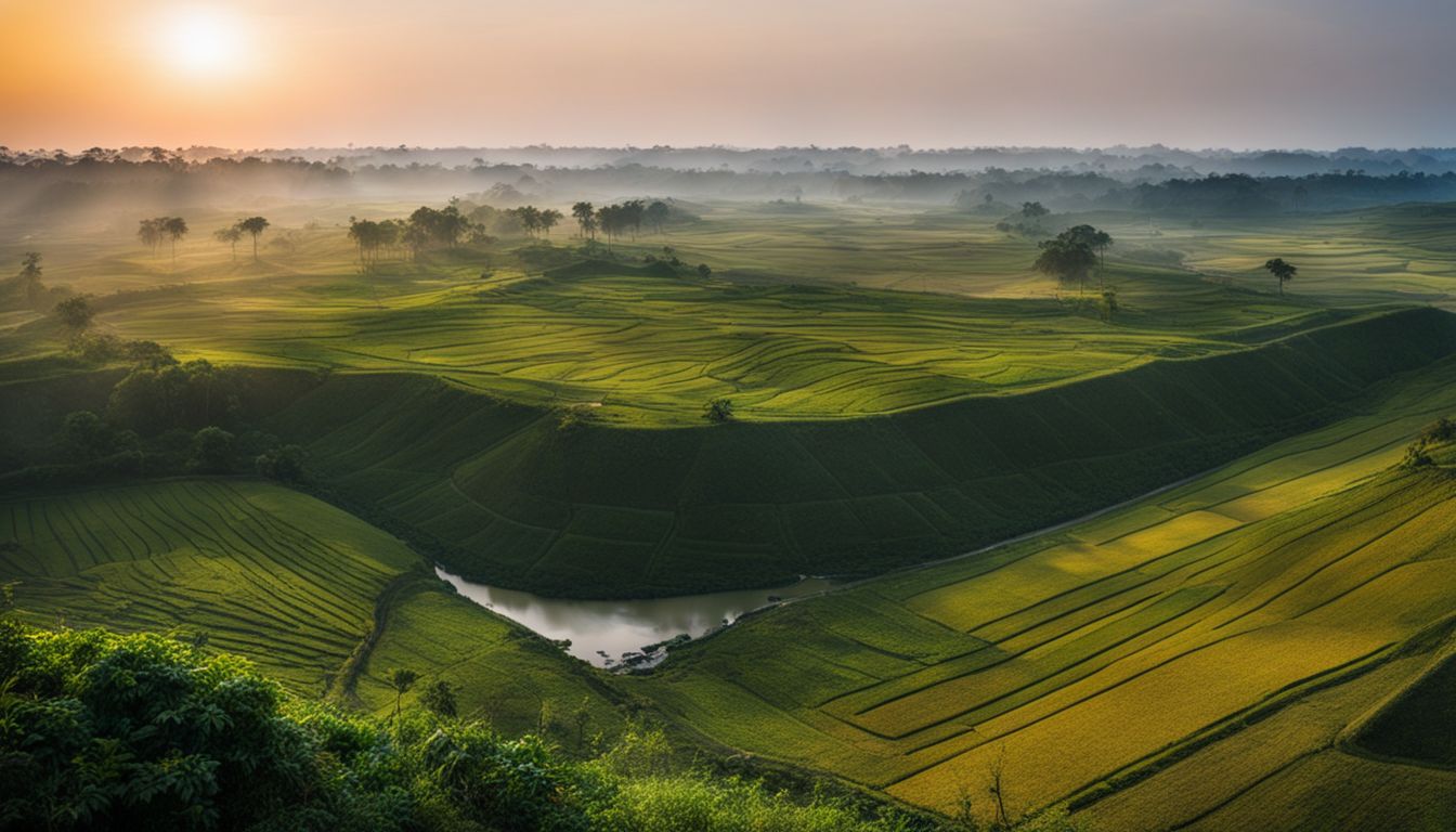
Bangladesh is located in South Asia, bordered by India to the west, north, and east, and by Myanmar to the southeast. It has a total land area of approximately 56,977 square miles and a population of over 160 million people.
Geographical location
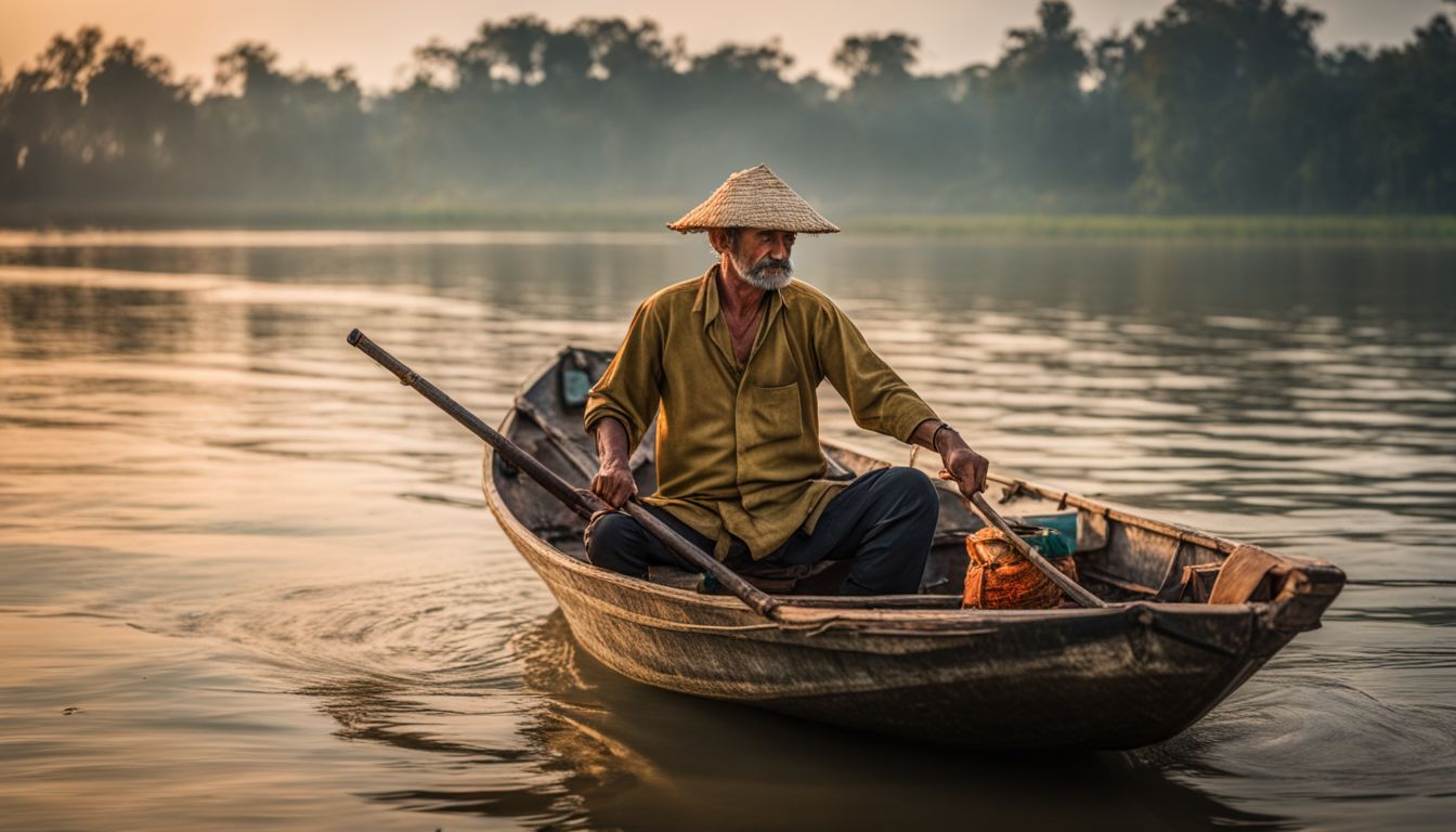
Bangladesh is located in South Asia, situated in the delta of the Padma (Ganges) and Jamuna (Brahmaputra) rivers. It shares its border with India and Myanmar. The country spans a total land boundary of 2,638 miles (4,246 kilometers).
This strategic location gives Bangladesh access to both land and sea routes, making it an important hub for trade and transportation in the region. Its geographical position also exposes the country to natural hazards such as cyclones and floods due to its low-lying coastal areas.
Bordering countries

Size and population

Bangladesh, despite its relatively small land area that’s comparable to the U.S. state of Wisconsin, boasts of a significantly larger population. In 2019, it housed a population of 163,317,317, making it the 8th most populated country in the world, accounting for approximately 2.11% of the global population. Bangla is the dominant language of Bangladesh, spoken by 98.8% of its population.
| Physical Parameter | Statistics |
|---|---|
| Geographical Size | Comparable to the U.S. state of Wisconsin |
| Population (2019) | 163,317,317 (8th most populated in the world) |
| Percentage of Global Population | 2.11% |
| Dominant Language | Bangla (98.8% of population) |
The Deltaic Plain

The Deltaic Plain in Bangladesh is characterized by its vast expanse of fertile land and frequent flooding. Click here to discover how this unique landscape shapes the country’s agriculture and economy.
Characteristics
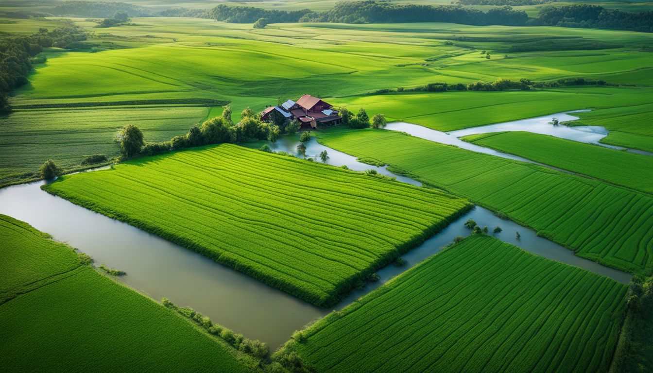
The physical features of Bangladesh can be divided into three main categories: the deltaic plain, the hilly region, and the coastline. The deltaic plain is characterized by flat land with fertile soil and frequent flooding from rivers like the Ganges and Brahmaputra.
This flooding provides nutrients for agriculture but also causes damage to infrastructure. The hilly region, located in the southeast part of Bangladesh, has a rugged landscape with hills and mountains.
It is rich in natural resources such as coal, limestone, and gas. Finally, the coastline stretches along the Bay of Bengal and consists of sandy beaches and mangrove forests. It plays an important role in trade and economy through its ports and fishing activities.
Flooding and its impact
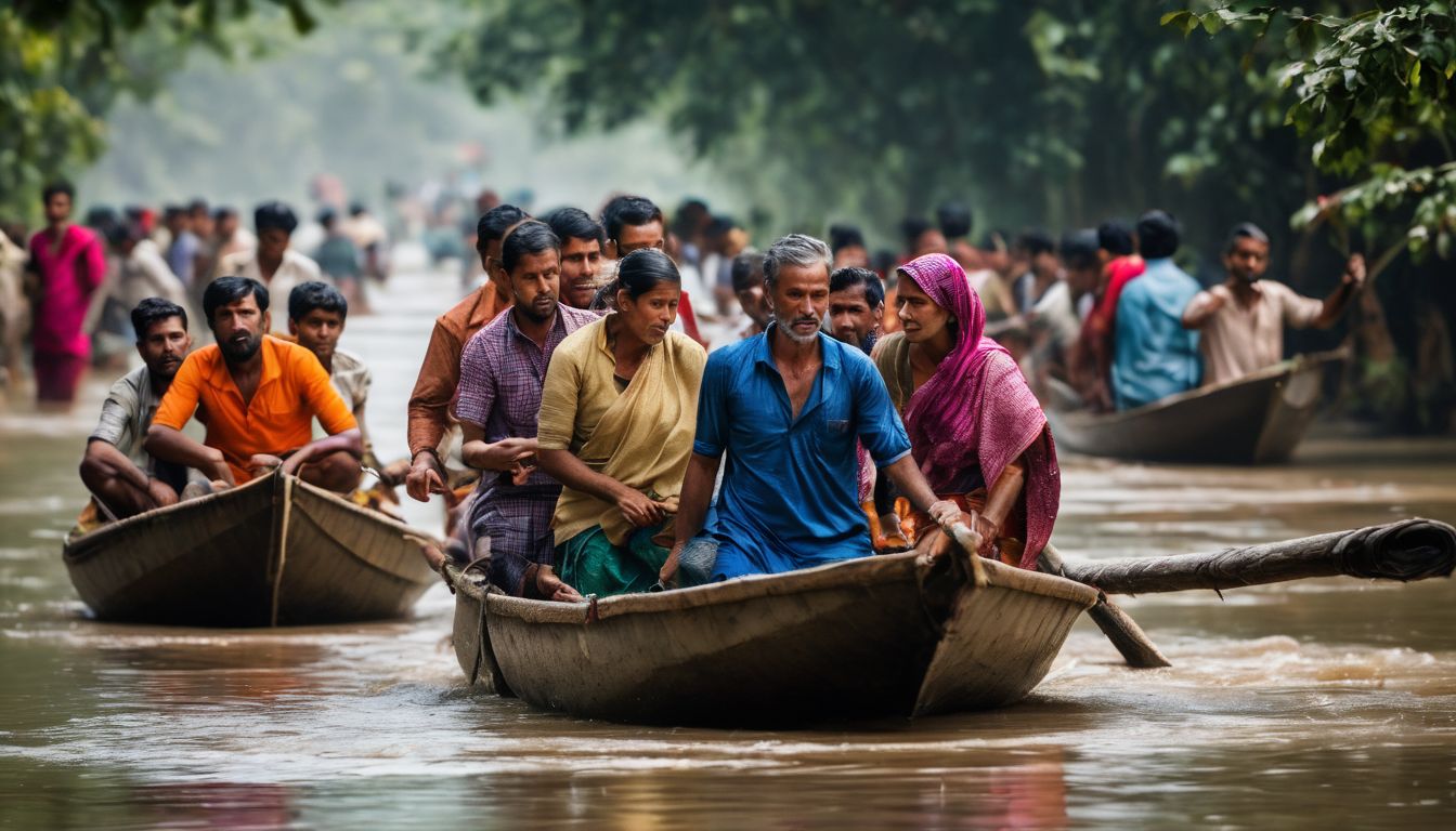
Frequent flooding is a significant issue in Bangladesh due to its many rivers and the deltaic plain. The Ganges-Brahmaputra delta experiences constant erosion and accretion, making it vulnerable to flooding.
This has a profound impact on the people living in Char Villages, affecting their livelihoods, income, and occupation. Climate change is expected to worsen flooding in highly populated coastal regions like Dhaka, further increasing the vulnerability of communities.
Between 30-70% of Bangladesh is susceptible to climate change impacts and flooding, highlighting the urgent need for mitigation strategies and adaptation measures.
The Hilly Region

The hilly region of Bangladesh is known for its stunning landscape and rich natural resources. Discover the hidden beauty of these mountains and learn about their importance in shaping the country’s identity.
Landscape
The landscape of Bangladesh is diverse and fascinating. It is mainly characterized by a broad deltaic plain, which makes up most of the country’s land area. This flat terrain is formed by the confluence of the Ganges and Brahmaputra River systems, creating a unique ecosystem.
In contrast to the plains, there are also hilly regions in Bangladesh that add contrast to its natural beauty. These hills are home to various natural resources and play an important role in shaping the overall landscape of the country.
Additionally, Bangladesh has a dynamic coastline that stretches along the Bay of Bengal, providing important trade routes and contributing to its economy.
Natural resources
The hilly region of Bangladesh is rich in natural resources. Here are some important natural resources found in this region:
- Forests
- Minerals
- Water resources
- Wildlife
The Coastline

The coastline of Bangladesh is a captivating blend of sandy beaches, mangrove forests, and bustling ports. Explore the beauty and economic significance of this coastal region in Bangladesh!
Features
The physical features of Bangladesh include a broad deltaic plain, a small hilly region, and a coastline. The deltaic plain is characterized by its flatness and is prone to frequent flooding.
The hilly region has unique landscapes and contains natural resources. The coastline is affected by sea-level rise and plays an important role in trade and the economy of Bangladesh.
Importance for trade and economy
The coastline of Bangladesh is of great importance for trade and the economy. It provides opportunities for fishing and maritime activities, which contribute significantly to the country’s income.
The coastal region is also home to the Sundarbans, a unique mangrove forest that serves as a natural resource and a UNESCO World Heritage Site. This area attracts tourists and supports ecotourism, bringing in additional revenue for the country.
However, it’s important to note that the coastal region is vulnerable to climate change and sea-level rise, which can disrupt trade routes and impact economic development. Efforts are being made to address these challenges and ensure sustainable growth along the coastline.
Rivers of Bangladesh
![[A fisherman stands on a boat surrounded by the vastness of the river, capturing the bustling atmosphere and natural beauty.] [A fisherman stands on a boat surrounded by the vastness of the river, capturing the bustling atmosphere and natural beauty.]](https://app.agilitywriter.ai/img/2023/11/05/Rivers-of-Bangladesh-136092520.jpg)
– Major rivers flow through the country, shaping its landscape and providing essential resources for agriculture and irrigation. Intrigued to learn more about these vital waterways? Keep reading!
Major rivers
Bangladesh has many important rivers. Here are some of them:
- The Padma River (also known as the Ganges River) is one of the biggest rivers in Bangladesh.
- The Meghna River and Surma River form a major river system.
- The Jamuna River is another important river in Bangladesh.
- Other significant rivers include the Feni River, Karnaphuli River, Sangu River, Matamuhari River, and Brahmaputra (Jamuna) River.
Role in shaping the land
The rivers of Bangladesh play a crucial role in shaping the land. The extensive river networks constantly deposit sediments, contributing to the formation of the country’s vast deltaic plain.
Over time, these rivers have carved deep channels and created fertile floodplains that support agriculture. The Padma River, one of the major rivers in Bangladesh, has been continuously changing its course and transforming the landscape.
Its growth in size and shape has led to changes in land formations and influenced human settlements along its banks. Overall, the dynamic nature of Bangladesh’s rivers has a significant impact on the country’s physical geography.
Impact on agriculture and irrigation
Agriculture and irrigation in Bangladesh are greatly impacted by the country’s physical features. The northwest region of the country is where most irrigated agriculture takes place.
Farmers rely on groundwater pumping for irrigation, which means extracting water from underground sources to water their crops. Flood control and drainage systems are crucial for supporting crop irrigation and preventing damage from floods.
Since 80 percent of Bangladesh is floodplain, flood control and drainage become essential for successful agriculture. Climate change also poses challenges to the agricultural sector as it brings about droughts and floods that can harm crops.
Moreover, intense groundwater-irrigated development in the country has led to changes in water usage patterns.
Additionally, climate change impacts agriculture through rising sea levels, which can result in saltwater intrusion into farmland near coastal areas. This intrusion affects soil quality and makes it difficult to grow certain crops.
Climate and Rainfalls
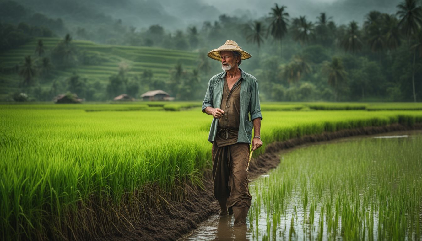
Bangladesh experiences a monsoon climate, with average temperatures peaking at around 90°F in the summer months and dropping to about 60°F during winter. The country receives heavy annual rainfall, which plays a crucial role in its agricultural sector and overall economy.
Monsoon season
During the monsoon season in Bangladesh, about 80 percent of the country’s rainfall occurs. The monsoons are influenced by pre-monsoon, monsoon, and post-monsoon circulations. These heavy precipitation events can pose a serious threat to the well-being of society.
The rivers in Bangladesh often flood during this time, causing hardship for people but also replenishing the fertile land with nutrient-rich silt. The monsoon season plays a crucial role in agriculture and irrigation, as it provides essential water for crops and supports the livelihoods of many people in Bangladesh.
Average temperatures
In Bangladesh, due to its subtropical monsoon climate, fairly warm temperatures are a common feature. As a result of climate change, an upward trend in these average temperatures has been noted over the years.
| Month | Average Temperature (°F) |
|---|---|
| January | 66 |
| February | 70 |
| March | 77 |
| April | 81 |
| May | 84 |
| June | 85 |
| July | 84 |
| August | 84 |
| September | 83 |
| October | 79 |
| November | 73 |
| December | 67 |
These are round figures, and actual temperatures can vary. The impact of this trend in average temperatures has wide-ranging implications for the environment, agriculture, and health in Bangladesh.
Annual rainfall
Bangladesh boasts an impressive amount of annual rainfall due to its geographical location and climate. The abundance of rainfall greatly contributes to the country’s lush landscapes and thriving agriculture industry. Here’s an organized illustration of the annual rainfall distribution across the country.
| Region | Annual Rainfall (in millimeters) |
|---|---|
| Average across Bangladesh | 2200 |
| Regions receiving the least rainfall | 1500 |
| Areas along the Indian border | Less than 1700 |
| Areas with the highest rainfall | Between 328 and 478 centimeters per year |
As evidenced, rainfall is a consistent element in Bangladesh’s climate. It significantly shapes the country’s features, from its rivers and deltas to the biodiversity present in its forests.
Environmental Issues

Environmental issues in Bangladesh include natural hazards, deforestation, and pollution.
Natural hazards
Bangladesh faces several natural hazards that pose risks to its people and environment. Some of these hazards include:
- Cyclones: Bangladesh experiences frequent cyclones, especially in the coastal areas. These powerful storms bring strong winds, heavy rainfall, and storm surges, causing extensive damage to infrastructure and agriculture.
- Floods: Flooding is a recurring natural disaster in Bangladesh. Heavy monsoon rains and overflowing rivers lead to widespread inundation. This not only affects the lives and livelihoods of millions but also causes damage to crops, homes, and infrastructure.
- Droughts: Despite having a wet climate overall, some parts of Bangladesh face drought conditions during dry seasons. These prolonged periods without rain can result in water scarcity, reduced crop yields, and increased hardship for farmers.
- Landslides: The hilly regions of Bangladesh are prone to landslides during heavy rainfall. Steep slopes combined with soil erosion make these areas susceptible to mass movements of earth and rocks, which can be devastating for communities residing there.
- Riverbank Erosion: The rivers flowing through Bangladesh constantly erode their banks, displacing many vulnerable communities along the riverbanks. This not only leads to loss of homes but also disrupts livelihoods and increases the risk of poverty.
Deforestation
Deforestation is a big problem in Bangladesh. The country has lost a lot of its natural forests, including the important Sal forests. This is bad because it leads to loss of habitats and species, which means less biodiversity.
Mangrove forests, like the ones found in Bangladesh and India, are especially affected by deforestation. In addition to that, people living in hill areas also suffer from deforestation because they lose resources like food, fuelwood, and water.
It’s important to stop deforestation and protect our environment.
Pollution
Pollution is a serious problem in Bangladesh, especially water pollution. Over time, monitoring programs have shown that pollution rates in rivers and surface water sources are increasing.
This is a big issue because the quality of water is crucial for the country’s well-being. Unfortunately, pollution has significant impacts on public health, as it includes air and freshwater contamination.
It’s essential to address this environmental challenge to ensure a healthier future for Bangladesh.
Conclusion

In conclusion, Bangladesh’s physical features are captivating and diverse. From its low-lying deltaic plains to the criss-crossing rivers that shape the land, this country offers a unique geographical experience.
The tropical monsoon climate adds to its charm, while also making it prone to natural disasters. Exploring Bangladesh’s physical features is sure to leave you in awe of its beauty and significance in the region.
FAQs
1. What are the main physical features of Bangladesh?
The main physical features of Bangladesh include its land, climate, and many rivers.
2. How does the land look in Bangladesh?
Bangladesh is mostly flat with some hills. It has fertile soil good for growing crops.
3. What kind of climate does Bangladesh have?
Bangladesh has a tropical monsoon-type climate. This means there’s heavy rain in some months and high temperatures all year round.
4. Why are rivers important to Bangladesh?
Rivers in Bangladesh help with travel and trade. They also provide water for farming activities.


